 vesseltracker.com
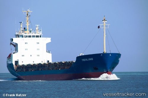
Vessel MANUELA S IMO: 8820107, MMSI: 210223000 General Cargo Ship
UTC, 60.03613, 29.05025, course: 274, speed: 0.3
UTC, 60.03463, 28.99541, course: -1, speed: 8.5
2026-02-28 07:20:23 UTC, 60.03007, 28.69026, course: -1, speed: 0.5
Live AIS position:
UTC. 15 nm NW of Sosnovyy Bor),
updated 2026-02-28 07:20:23 UTC.
Find the position of the vessel MANUELA S on the map. The latter are known coordinates and path.
marine traffic ship tracker show on live map
The current position of vessel MANUELA S is 60.03007 lat / 28.69026 lng. Updated: 2026-02-28 07:20:23 UTCCurrently sailing under the flag of Cyprus
MANUELA S built in 1989 year
Deadweight:
4402 tDetails:
Last coordinates of the vessel:
UTC, 60.03613, 29.05025, course: 274, speed: 0.3UTC, 60.03613, 29.05025, course: 274, speed: 0.3
UTC, 60.03463, 28.99541, course: -1, speed: 8.5
2026-02-28 07:20:23 UTC, 60.03007, 28.69026, course: -1, speed: 0.5